
Acreage
Stills and 4K flyovers of farms, tracts, and raw land. Flat from $225.
See acreage packages ›
Columbia-based FAA Part 107 Remote Pilot (sUAS).
4K video and stills sharper than 4K.
Property analysis with every job. Site & Brand Analysis from $30.
Services
Land, construction, listings, churches, and events from the air.
Stills and 4K flyovers of farms, tracts, and raw land. Flat from $225.
See acreage packages ›Dated progress sets, stills, and 4K clips for lots, spec homes, and subdivisions. Flat from $225. Monthly visits $195 each.
See builder packages ›Listing photos that show the house, the lot, and the street. Flat from $175.
See listing packages ›Stills and 4K video of churches, campuses, parks, and community spaces. Quote-based.
See churches & community ›Stills and short 4K recap clips of outdoor events. Quote-based.
See events ›Brand, commercial, and one-off aerial work. From $350.
See custom packages ›No checkout on this site. After a quote is confirmed, you get a Stripe payment link.
Portfolio


About
Flights planned under Part 107. If conditions aren’t right, I reschedule. If a shot isn’t usable, I fly it again.
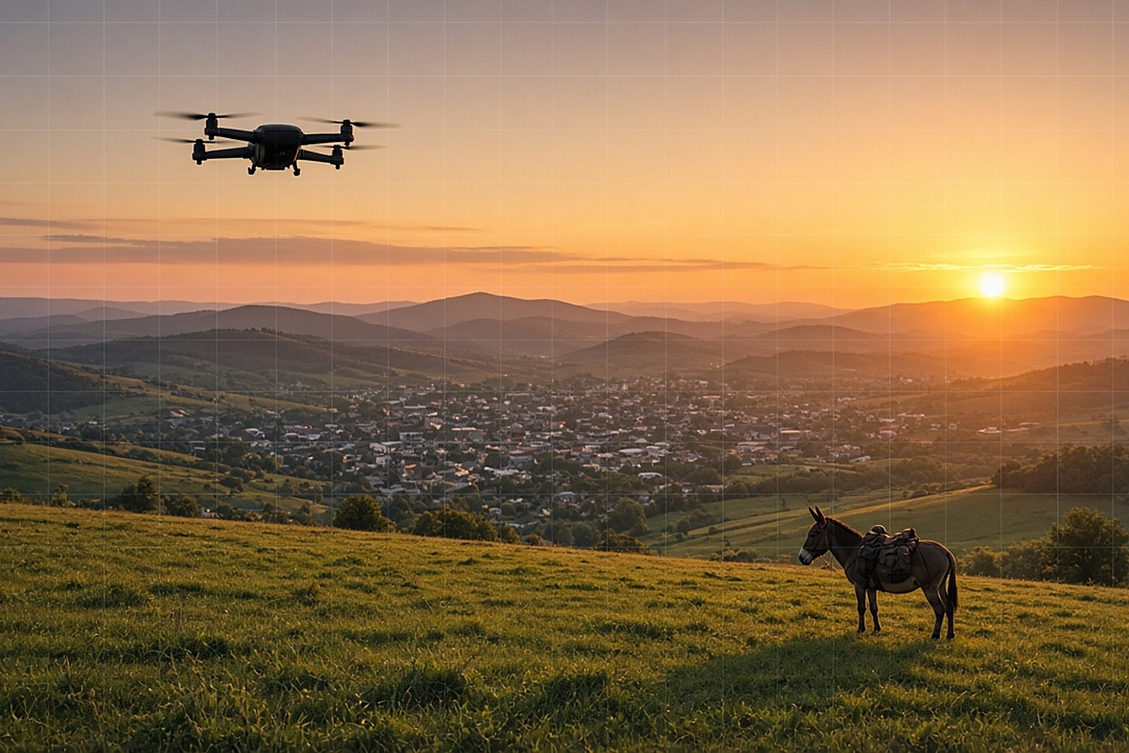
Muletown Drone is owned and flown by one insured FAA Part 107 pilot, under Columbia Drone Company LLC.
Columbia State engineering student and Belmont accounting grad, local to Maury County.
Muletown Drone is a one-pilot shop in Columbia. I know the light, the weather windows, and the roads across Middle Tennessee. Show the property clearly. Deliver on time. Stay easy to reach.
Need files sized for X, Instagram, or MLS? Say which before the flight and I’ll deliver for that use.
We use Grok, xAI’s AI, for research and paperwork behind every job. That’s how each delivery comes with a short property analysis: public facts, with sources, written in plain English.
Contact
Send the property address, the date you need files, and any package notes. I’ll confirm airspace, weather, and a flat quote before anything is scheduled.